Planning and Management of Water in the Netherlands

So, how did the Netherlands integrate water into the city and plan and use it as a landscape element?
We know that the Netherlands is very good at water management. This established management mechanism has been around for 300 years. The first Dutch Regional Water Authority was established in the 13th century. Today, water management continues with 21 regional water administrations employing approximately 11,000 people. Water authorities are working on protecting areas from flooding, managing water quality, water shortages, and droughts.
With the flood disaster in the southwest of the Netherlands in 1953, the coasts surrendered to the waters in the early 1990s. The government has put forward a plan called Delta Program in order to prevent such incidents from happening again. This program works to protect the country from flooding, mitigate the impact of extreme weather events, and secure freshwater supplies. This program aims to protect the Netherlands from flooding today and in the future, ensuring an adequate fresh water supply, making the country climate-resistant. As time goes on, the sea level rises and landfalls, heavy rains increase, the population of the Netherlands rises, and it is known that more people and the economy will be harmed by the flood. For this reason, Dutch flood protection plans are kept up to date with the Delta Program, and new measures and plans are determined every year. All studies carried out under the Delta program are financed by the Delta Fund. It is a separate item from the central government budget. An annual average of 1.25 billion Euros has been allocated for the Delta Fund until 2032. As a water management requirement, a water-related tax is also collected from each plot.
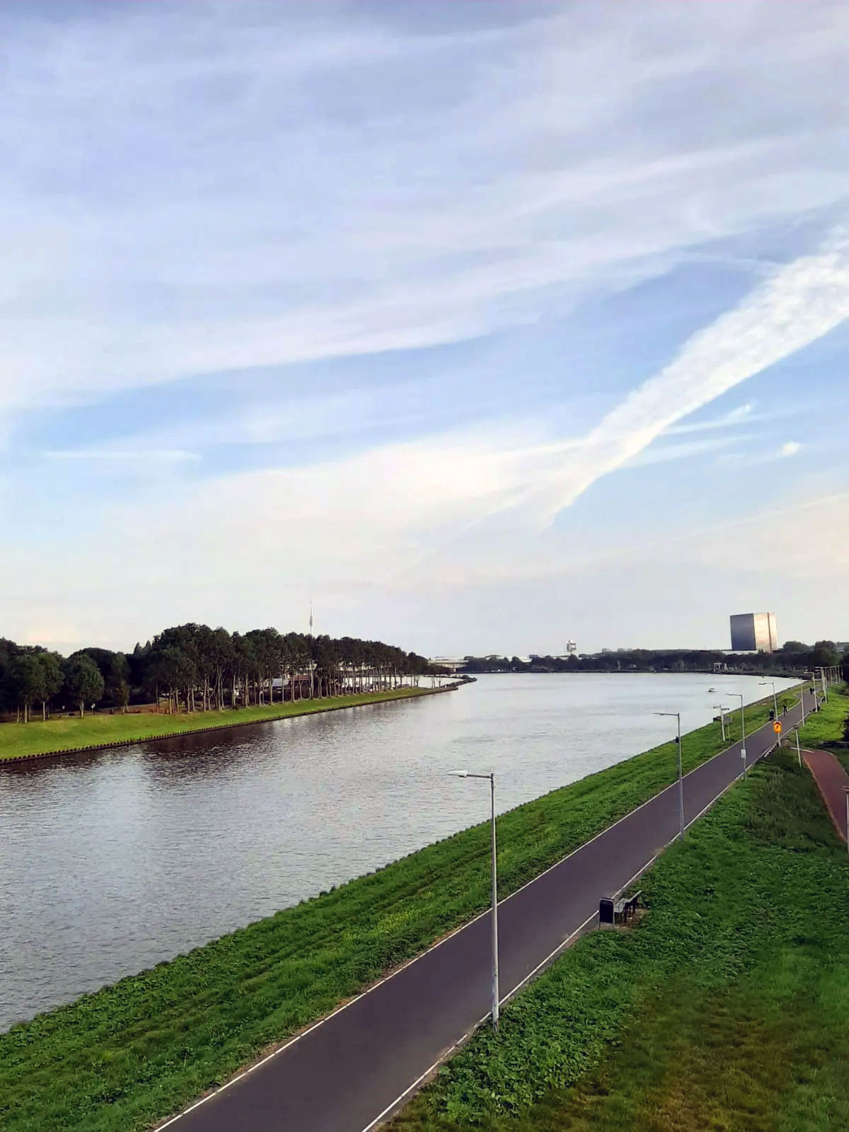
Figure 1: Amsterdamsebrug (Brug54P) – Saadet Gökmen Archive
After the flood disasters, an approach called “room for the river” has been developed for flood protection in river areas. Its main objective is to lower the level of flood plains, create water buffers, relocate embankments, increase the depth of channels and manage higher water levels with flood bypass. When the water level rises, it has been determined which areas the water will overflow, and if there are settlements in those areas, they are evacuated. Risky areas are obvious in almost the whole of the Netherlands. Therefore, these places that may be exposed to floods and overflows have been determined in advance. Within the scope of this program, there are more than 30 projects completed by 2018. The entire program is expected to be completed in 2022.
The main goal was to manage higher water levels in rivers by lowering flood plains levels, creating water buffers, displacing embankments, increasing the depth of side channels and building floodplains. One of the aims of this program is to permanently make available the extra space that the rivers will need to cope with the higher drainages due to predicted climate change in the years ahead.
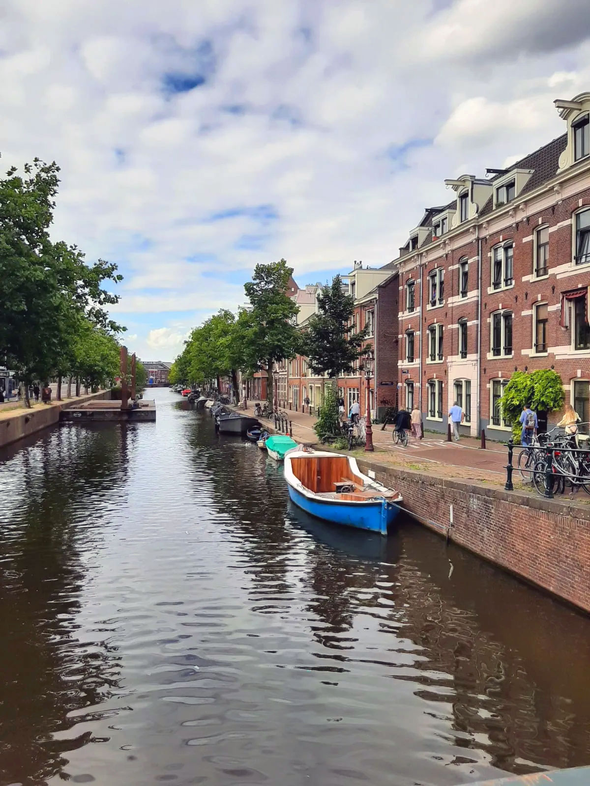
Figure 2: Amsterdam -Saadet Gökmen Archive
We know that some Dutch lands are made up of lands reclaimed from the water. For every land gained, if the land was created in a region, the same amount of water place should be next to it. The water and land area should be kept at the same rate because only when the soil is filled will the land area increase, the water rate will decrease, and the balance of nature will be disturbed. The main purpose of water channels is to create a drainage area. To better understand, it can be said; that when you eat yoghurt, water accumulates when taken from a piece of it. Therefore, there is water in the soil, and when it is dug, water accumulates there. Because it is below sea level in most places, when an area is filled with soil, channels have to be dug to get it out of the marsh state and dry it out. In other words, the Dutch had to open water channels to build in the areas reclaimed from the water. The marshy areas are filled with soil to dry them out, but piles are driven to raise the area when the groundwater is too high. Without these canals, production cannot be done, and therefore the canals have to participate in urban aesthetics. In addition, it is obligatory to obtain an institutional opinion from the Rijkswaterstaat for every project and building around water channels. While the necessity of building water canals is usually in the northern cities, in cities such as Eindhoven towards the south, there are not many canals because the groundwater is low, far from the sea, and above sea level. For this reason, technically, canals have to be built in cities such as Amsterdam Rotterdam. In other words, the basis of water channels has emerged from technical concern, not aesthetic concern. The city planning system consists of roads, canals, bridges, trees, meadows, trees, bridges, and roads in northern cities. In the north, the system is generally like this; however, there are no channels in the south as there is no need to drain the soil.
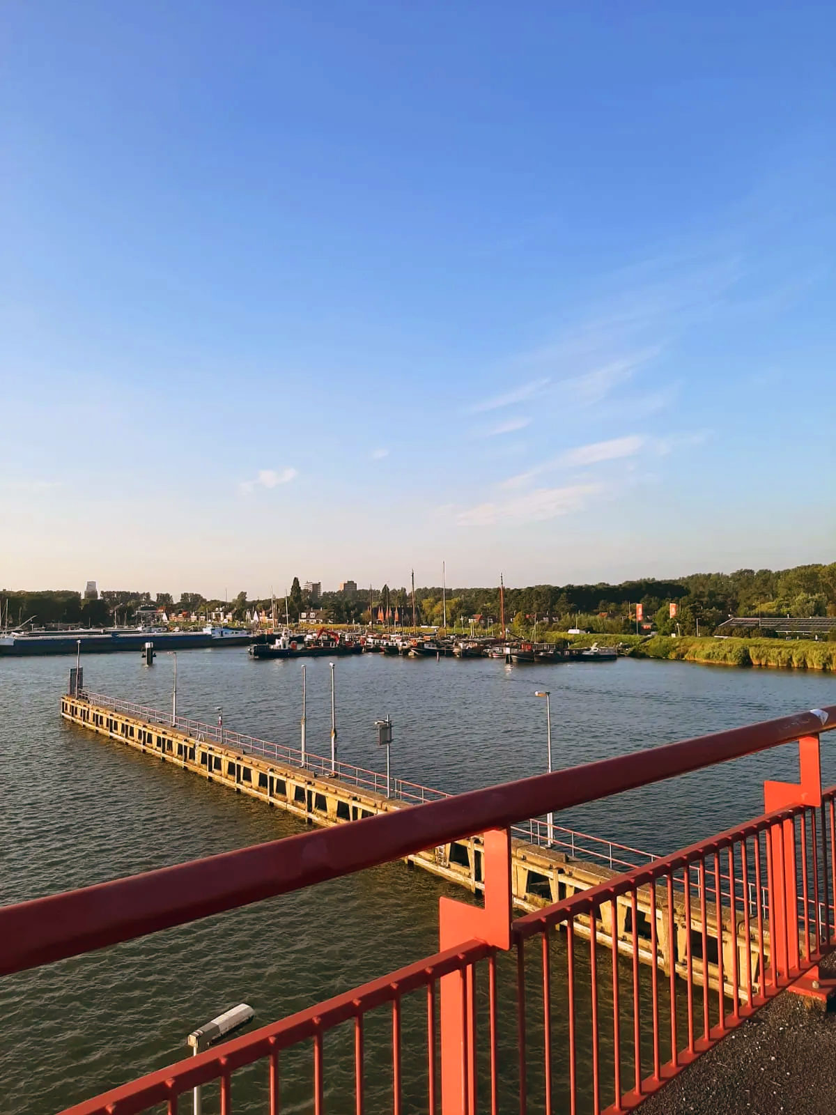
Figure 3: Schellingwouderbrug – Saadet Gökmen Archive
Water channels are also used for transportation purposes. Water channels are reaching as far as Germany and Belgium. The water channels occasionally merge with the rivers. Rivers are also used for transportation because their flow is low and stagnant. So, they are a transportation alternative. They were also used for transportation purposes in the past. Water channels were used to pull the goods coming to the port with the help of horses and transport them somewhere.
In the Netherlands, covered with water, aquaculture is so integrated into society that children have to get a swimming certificate. This is essential for going to aqueous areas on school trips.
References
https://netherlandsinsiders.com/how-much-of-the-netherlands-is-below-sea-level/
https://www.dutchwatersector.com/news/room-for-the-river-programme